
Verified Brownsburg ZIP Coverage
Official evidence supports one primary Brownsburg postal ZIP. Nearby codes appear in a USPS routing-label group, but that list is not a boundary map. The conservative Brownsburg ZIP code directory therefore labels routing evidence as routing evidence and leaves unresolved overlaps unresolved.
| ZIP Code | Areas Covered | Post Office | Notes |
|---|---|---|---|
| 46112 | Verified Brownsburg postal area | Brownsburg Post Office | Confirm each address through USPS |
| 46102 | Not established as town coverage | Brownsburg routing group only | Routing evidence is not a town boundary |
| 46147, 46149, 46167 | Not established as town coverage | Brownsburg routing group only | Require address-level confirmation |
| 46123, 46234 | Official overlap not located | Nearby postal areas | Check USPS and GIS, do not assume |
The sources did not verify a Brownsburg-only ZIP, a PO-box-only code, a historical split, or a full address-by-address overlap table. They also did not support per-ZIP resident or voter totals. The 2020 Census town count is about the municipality, not its postal delivery area.
Verify a Brownsburg Postal Address
The USPS ZIP Code Lookup is the authoritative address-level check. Enter the street address, city, and state, then preserve the standardized result. Use the answer as a mail label, not as proof that the parcel lies inside town limits.
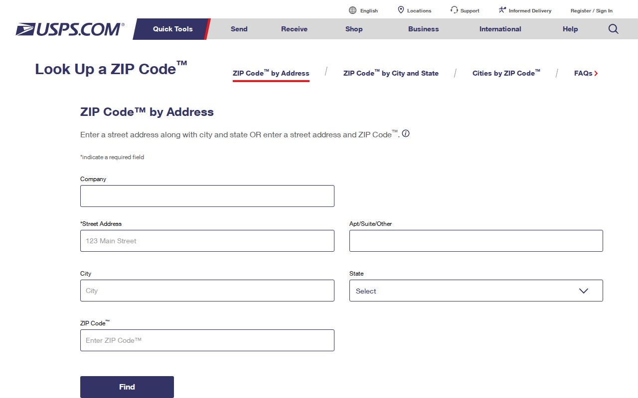
The captured form shows why a complete address is stronger evidence than a generalized routing table.
| Lookup field | Enter | What the result settles |
|---|---|---|
| Street address | Number and road | The delivery point being checked |
| City | Claimed postal city | A component USPS may standardize |
| State | Indiana | The correct state context |
| Result | Standardized city, ZIP, ZIP+4 | Mailing format, not corporate limits |
Brownsburg ZIP Post Office
The official Brownsburg Post Office record identifies the facility at 411 E Northfield Drive and gives the 46112-9998 facility label, service details, and current customer and PO Box hours. A post office can route mail beyond town lines, so its service area should not be drawn as a civic boundary.
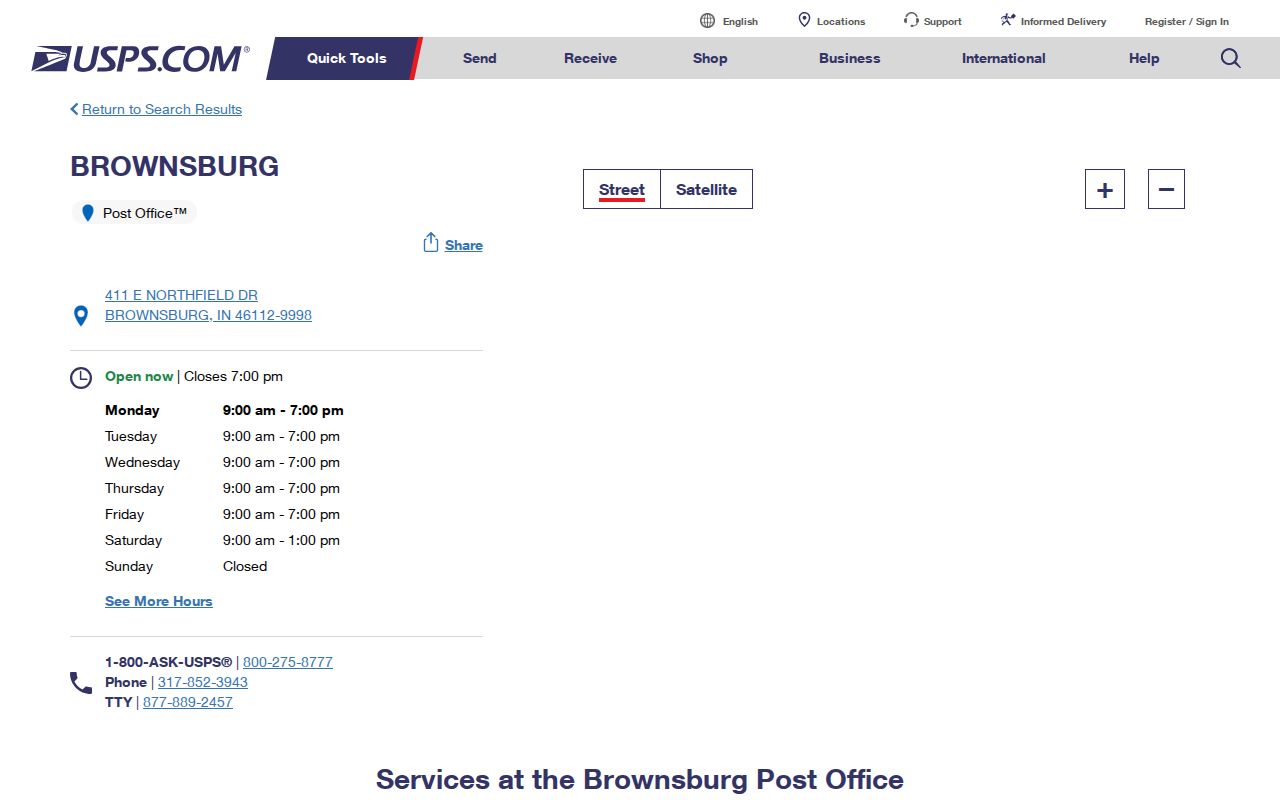
The location page verifies the office and its services. It does not identify each person or parcel served by the facility.
Note: Recheck the USPS location page before a visit because service windows and operating details may change.
Search Brownsburg Records by ZIP
A Brownsburg ZIP code directory does not unlock a ZIP-wide resident roster. Local public systems use other keys. Start with a verified postal address, move to the system that holds the needed fact, and state when ZIP filtering is absent.
- Confirm the exact delivery ZIP and ZIP+4 through USPS. Save the standardized address and lookup date.
- Search XSoft by address or parcel. Its advanced form has no ZIP filter.
- Open the Town GIS parcel. Compare its PropertyCity, Corporate Limits, township, and annexation fields.
- For an individual voter status, use name, date of birth, and Hendricks County. The public form does not take ZIP.
- If a lawful existing public record is not indexed, ask its custodian for that address, parcel, record type, and date span.
INBiz has a ZIP field, but it searches business filings rather than residents. Once a postal area narrows to a road, the Brownsburg street directory explains the address-to-parcel workflow.
Brownsburg Portals Without ZIP Filters
The county XSoft portal searches owner, address, parcel number, and many property traits. No ZIP control appeared. Town GIS searches owner, parcel, property address, and subdivision. Its schema includes an owner mailing city, state, and ZIP field, but it has no visible parcel-ZIP query. An owner's mailing ZIP may belong far from the parcel.
IndianaVoters asks for first name, last name, date of birth, and county. The separate polling search uses county, precinct, and split precinct, not ZIP. A county file request is a different process, subject to Indiana law, redactions, county policy, and the rule that an office need not create a new list.
Key point. A field displayed inside a record is not necessarily a field the portal lets the public search.
Map Brownsburg ZIP Boundary Clues
The Town's parcel map supplies Corporate Limits, Road Centerlines, township, council district, annexation, zoning, and parcel fields. Use it after USPS confirms the mail label. If the postal city says Brownsburg but Corporate Limits does not, describe the parcel as carrying a Brownsburg postal address outside the verified town line.
The Brownsburg public-hearings map offers a second view of planning projects and local geography.
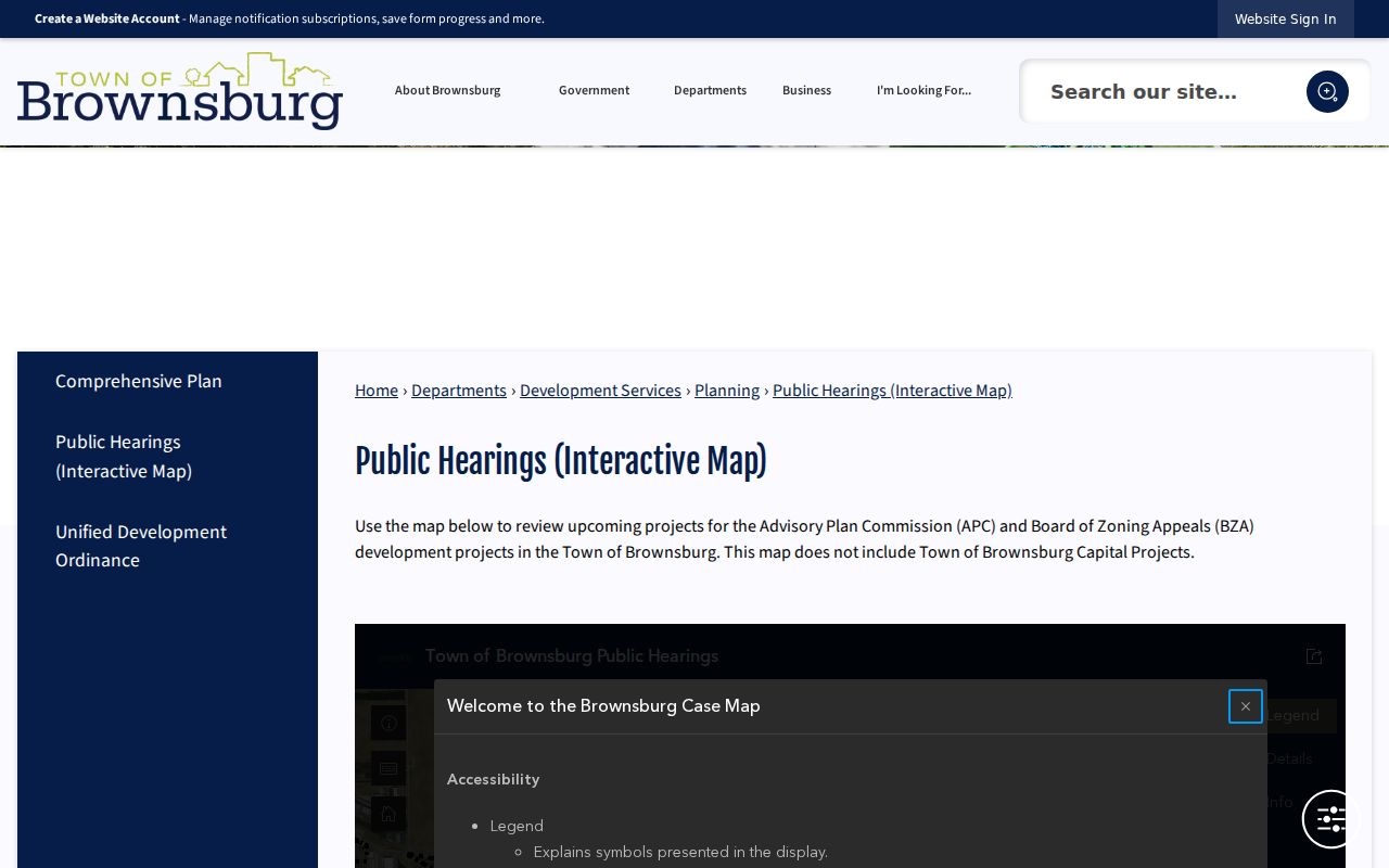
This planning image can connect a project to town records, but it cannot replace USPS verification or prove a resident's address.
Brownsburg ZIP Geography Over Time
Older maps are needed when a road, subdivision, or annexed tract did not exist in its current form. The Indiana State Library Hendricks map holdings include Brownsburg city maps from 1980 and 1984, a 1978 county highway and subdivision map, and owner-indexed plat books.
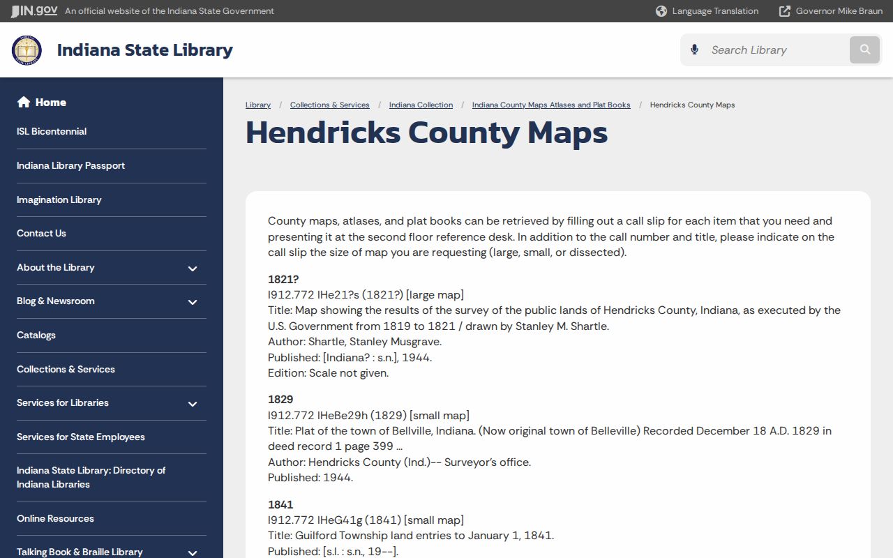
The holdings list provides dated geographic evidence. Pair the chosen map with a recorded plat or annexation record rather than forcing a modern ZIP onto an earlier place.
Early sources may call the place Brown Township, a village, or a railroad point. Rail service in 1879, commuter service in 1910, and later subdivision growth changed local map language. USPS, the Recorder, Town Planning, County GIS, the archive, and library staff are the fallback chain when an address bridge is not online.
Brownsburg Population Is Not ZIP Data
Census QuickFacts reports 21,285 people in 2010, 28,973 in the 2020 Census, and a displayed 2025 estimate of 34,089 for Brownsburg town. These are municipal figures. They cannot be divided among ZIPs without a separate, compatible geography source. The same warning applies to a planning population cited in an infrastructure plan.
Brownsburg is officially styled a town even though some databases or projects classify it as a city. That naming quirk matters when selecting Census geography, checking a map layer, or wording a records request. The ZIP code directory should preserve the source's own place type.
Note: A population estimate is context for growth, not a current list of residents, registered voters, owners, or delivery points.
Brownsburg ZIPs Versus Town Limits
USPS delivery areas, parcels, town limits, and townships solve different problems. A Brownsburg postal label can reach an unincorporated parcel, while a municipal parcel may use another postal city. The official sources inspected did not expose a complete overlap table. Verify each disputed address through USPS and the GIS Corporate Limits layer, then ask Planning or GIS for an existing annexation or address record if needed.
- ZIP and ZIP+4
- The five digits describe a delivery area; four added digits narrow delivery to a segment or destination.
- PO-box ZIP
- A code assigned mainly or only to post-office boxes. No Brownsburg-only example was verified.
- Unique ZIP
- A code assigned to one high-volume organization. Research did not find one for Brownsburg.
- Carrier route
- A USPS delivery grouping used for routing, not a municipal or resident boundary.
The mailing address, parcel situs, deed description, and civic boundary should all be labeled in saved notes. That small habit prevents the ZIP code directory from overstating what a postal code can prove.
For a disputed Brownsburg ZIP code, use the full street address in USPS lookup and keep the returned postal form. Then compare the parcel's situs city and district in county records. The two systems answer different questions, so a postal mismatch alone does not show that either record is wrong.